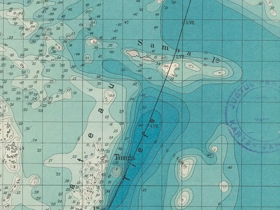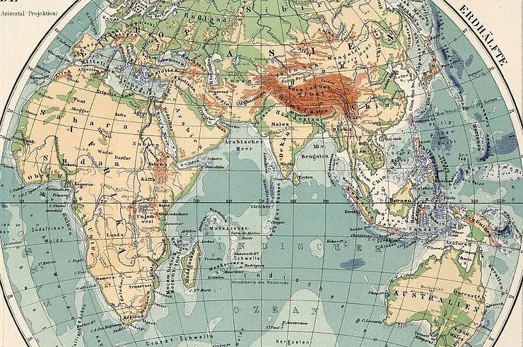
As part of the project "Cartographies of Africa and Asia (1800–1945). A Project for the Digitization of Maps of the Perthes Collection Gotha" (KarAfAs), over 35,000 maps of Africa and Asia from the Gotha Perthes Collection, dating from 1800 to 1945, were digitised and prepared for the (specialist) public. To accompany the digitisation project, a blog was launched under the direction of Dr Claudia Berger to document outstanding finds and the initial results of the cataloguing work.
The project and digitisation were successfully completed at the beginning of 2023. However, research into the Gotha Perthes Collection's maps of Africa and Asia continues. In order to make this work visible, the blog has been continued since 2024 under the new editorship of Albert Feierabend and Florian Balbiani at the Centre for Transcultural Studies. The blog not only documents the completed research and digitisation project, but above all serves as a platform to provide insights into ongoing research. In this context, it offers scholars researching in Gotha – in particular the scholarship holders of the Herzog Ernst and Hiob Ludolf Scholarship Programme – the opportunity to publish and discuss primary sources, research data and ongoing studies from their research stay in Gotha.
The latest blog posts:
- Feierabend, Albert, Mapping the Earth’s Surface. Perthes and the Centre for Transcultural Studies at the ICHC 2026, Mapping Africa and Asia, 22.09.2026, https://doi.org/10.58079/16tra.
- Wagemann, Tobias, Imperial Perspectives on Papua New Guinea. Paul Langhans's Map of the Gazelle Peninsula (1893), Mapping Africa and Asia, 27.05.2026, https://doi.org/10.58079/16a6b.
- Prauss, Charlotte, Colonial Borders on School Maps. Sydow-Wagner's Methodical School Atlas, 1878–1928, in: Mapping Africa and Asia, 19.04.2026, https://doi.org/10.58079/163ft.