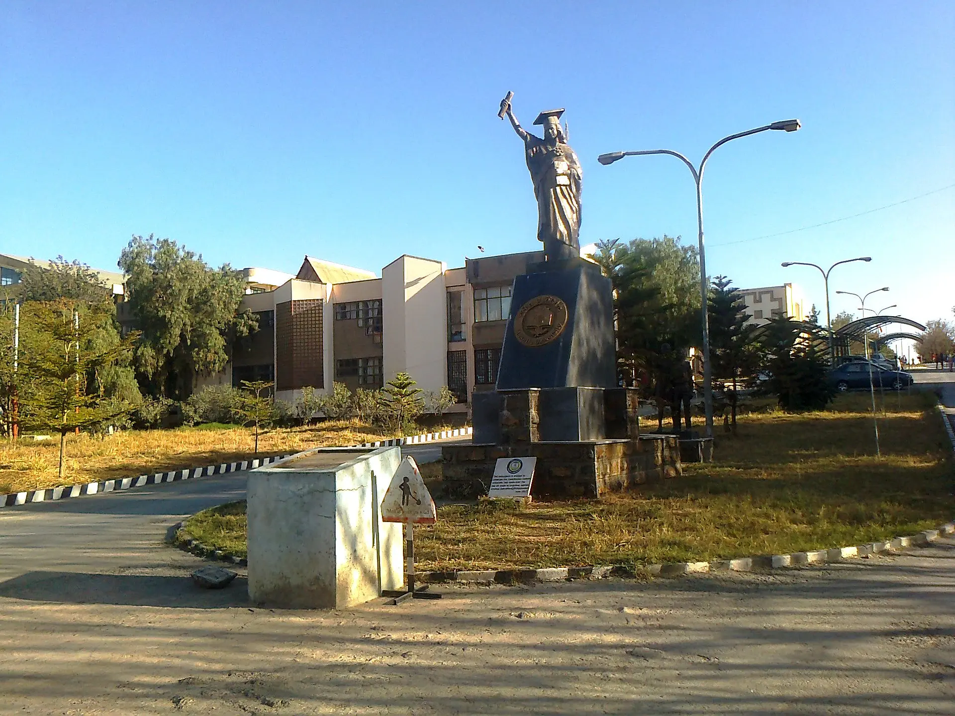
Since January 2026, the Gerda Henkel Foundation has been funding the two-year MERCI project (Mekelle–Erfurt Research Cooperation Initiative), which aims to resume and expand academic cooperation between the University of Erfurt and Mekelle University – particularly with the Department of History and Cultural Studies – following the war in Tigray (Ethiopia). Building on existing collaborations and the “Rescue Initiative (ReScholarGE)” … more
Bild: Statue auf dem Adi-Haqi Campus der Mekelle University © Peter Nadig

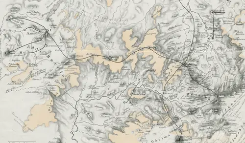
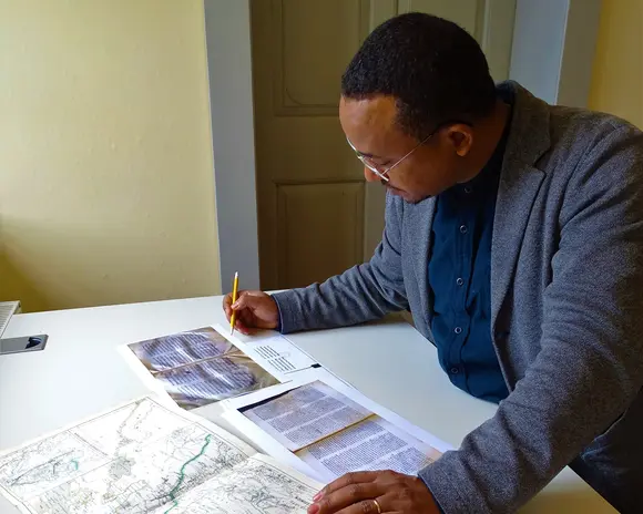
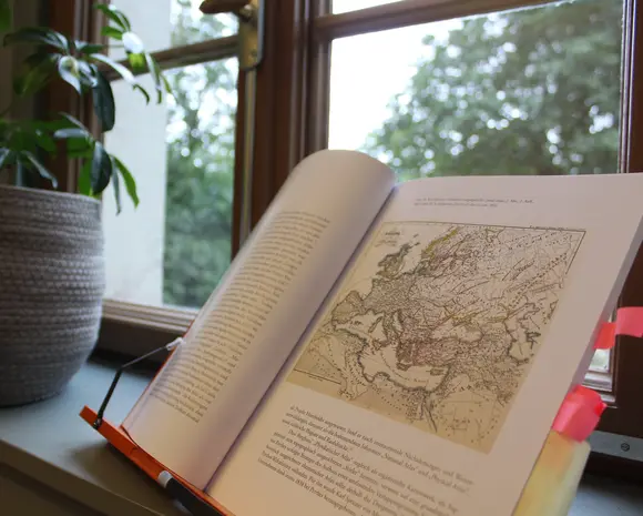
The Gotha Perthes Collection is a key resource for Thuringia’s colonial heritage, enabling historically nuanced research into colonial connections across their global, economic, and cultural dimensions. Using maps, the project conducts basic research on the varying forms of colonialism in Africa, Latin America, and Oceania... more
Bild: © Bruno Hassenstein, Specialkarte des Damara-Landes. Nach den neuesten Quellen, 1:1.750.000, 50 x 39 cm, Justus Perthes' Kolonien-Karten No. 2, Gotha 1885, Forschungsbibliothek Gotha, Sammlung Perthes, SPA lg2° 00332 (53).
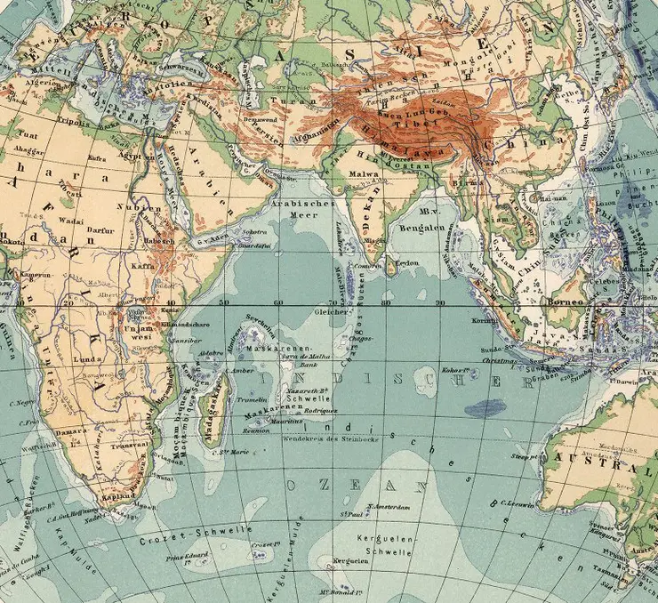
To accompany the research and digitisation project "Cartographies of Africa and Asia (KarAfAs)" (2021-2023), a project blog was launched under the direction of Dr Claudia Berger to document outstanding finds and initial results of the digitisation process. The project and digitisation were successfully completed at the beginning of 2023. However, research into the Gotha Perthes Collection's maps of Africa and Asia will continue. In order to make this work visible, the blog has been continued since 2024 under the new editorship of Albert Feierabend and Florian Balbiani at the Centre for Transcultural Studies / Perthes Collection
To the Blog "Mapping Africa and Asia"
Latest contributions:

![[Translate to English:] facebook icon](/fileadmin/SocialMediaIcons/iconfinder_06-facebook_white.svg)

![[Translate to English:] instagram icon](/fileadmin/SocialMediaIcons/iconfinder_38-instagram_white.svg)
![[Translate to English:] YouTube icon](/fileadmin/SocialMediaIcons/iconfinder_18-youtube_white.svg)
![[Translate to English:] xing icon](/fileadmin/SocialMediaIcons/iconfinder_xing_white.svg)

University of Erfurt (Campus)
Nordhäuser Str. 63
99089 Erfurt