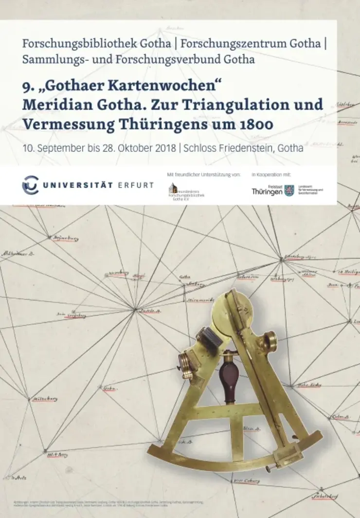
9th Gotha Map Weeks
From September 10 to October 28 2018, the Gotha Research Library and the Gotha Research Centre of the University of Erfurt, this time together with the Gotha Collection and Research Network, organised the 9th Gotha Map Weeks with the title "Meridian Gotha. Zur Triangulation und Vermessung Thüringens um 1800", which were dedicated to the geodetic and cartographic tradition.
This year the focus lay on the triangulation and surveying of the Thuringian lands under Duke Ernst II and his successors up to the Royal Prussian Land Survey around 1851-1855. The foundations for the first triangulation and land survey had already been laid with the project to measure degrees under Duke Ernst II and the astronomer Franz Xaver Freiherr von Zach and the astronomical determination of the meridian of the observatory on the Seeberg from 1792. As the topic of surveying extended far beyond the history of Thuringia, two events focussed on global historical dimensions.
Further information:
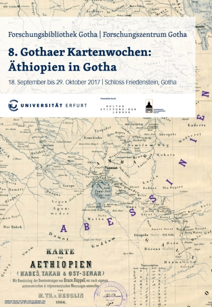
8th Gotha Map Weeks
From September 18 to October 29 2017, the Gotha Research Centre of the University of Erfurt and the Gotha Research Library organised the 8th Gotha Map Weeks.
This year's theme was "Ethiopia in Gotha" and focussed on the traces that the country of Ethiopia has left behind in the collections of the Gotha Research Library since the 17th century. At the centre of the exhibition was the unique collection of 19th and early 20th century Ethiopian cartography preserved in the Gotha Perthes Collection. An exhibition in the Hall of Mirrors framed the multifaceted programme offered by the Gotha Research Library and Gotha Research Centre during the Map Weeks.
In addition to the exhibition, the programme included weekly evening lectures, guided tours and another screening of the film "Die Kartenmacher aus Gotha". An international workshop presented the results of the Ethiopian-German-French research project "ETHIOMAP - Cartographic Sources and Territorial Transformations of Ethiopia since the Late 18th Century", which was funded by the Agence Nationale de la Recherche (ANR) and the Deutschen Forschungsgemeinschaft (DFG).
Further information:
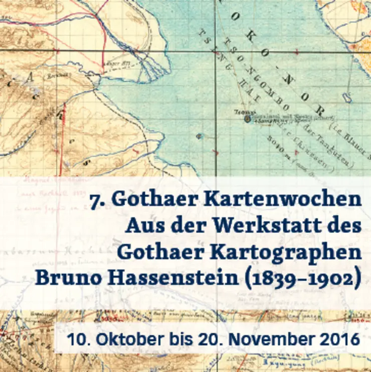
7th Gotha Map Weeks
From October 10 to November 20 2016, the Gotha Research Centre and Gotha Research Library of the University of Erfurt hosted the 7th Gotha Map Weeks "Aus der Werkstatt des Gothaer Kartographen Bruno Hassenstein (1839–1902)".
This year's exhibition was centred around the Gotha cartographer Bruno Hassenstein (1839-1902). His estate, which includes working diaries, design drawings, maps of various stages of production, manuscripts, map commentaries and working instruments, made it possible to trace the production and visualisation of geographical knowledge.
Further information:
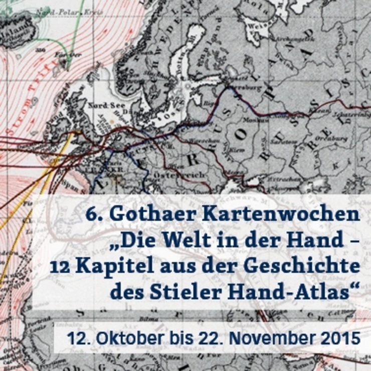
6th Gotha Card Weeks
From 12 October to 22 November 2015 , the Gotha Research Centre and the Gotha Research Library of the University of Erfurt hosted the 6th Gotha Map Weeks. Under the title "The world in your hand - 12 chapters from the history of the Stieler Hand-Atlas", this year's Gotha Map Weeks offered an insight into the work of the publishing house Justus Perthes and showed how closely the success of the Stieler was intertwined with the success of the Justus Perthes publishing house.
Further information:
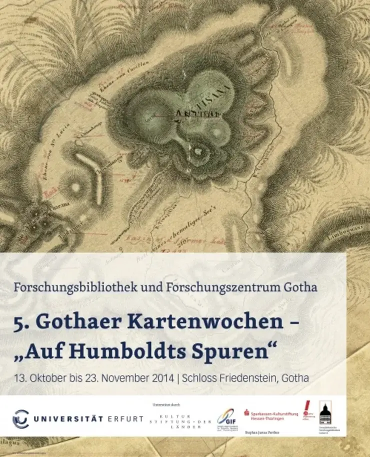
5th Gotha Map Weeks
From 13 October to 23 November 2014, the Gotha Research Centre and the Gotha Research Library of the University of Erfurt organised the 5th Gotha Map Weeks under the title "Auf Humboldts Spuren". The thematic focus was the influence of Alexander von Humboldt on explorers in the 19th century.
Further information:

![[Translate to English:] facebook icon](/fileadmin/SocialMediaIcons/iconfinder_06-facebook_white.svg)
![[Translate to English:] instagram icon](/fileadmin/SocialMediaIcons/iconfinder_38-instagram_white.svg)
![[Translate to English:] YouTube icon](/fileadmin/SocialMediaIcons/iconfinder_18-youtube_white.svg)
![[Translate to English:] xing icon](/fileadmin/SocialMediaIcons/iconfinder_xing_white.svg)