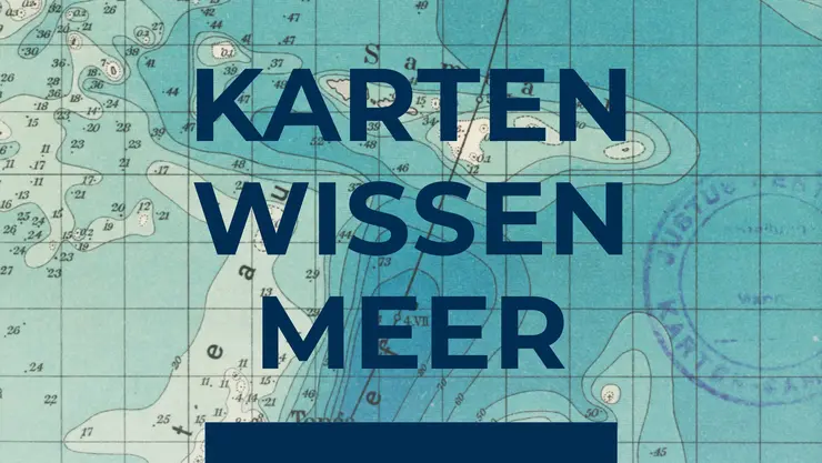
Exhibition series "KARTEN WISSEN MEER. Globalisierung vom Wasser aus"
On the oceans, the world became one. As media of globalisation, maps created the conditions for the intensification of shipping traffic. They showed travellers, merchants and migrants routes in a world that increasingly appeared to be a spatial continuum. As nautical charts, they enabled increasingly precise navigation; as maps of the world, or rather the world's oceans, they helped to raise awareness of global connections and their distortions. Above all, however, maps made it possible to view and understand the world as a whole – a whole whose parts are connected rather than separated by the seas.
The exhibition series "KARTEN WISSEN MEER. Globalisierung vom Wasser aus" shows maps and other objects from the Gotha Perthes Collection and the map collection of the German Maritime Museum in Bremerhaven. It is funded by the Federal Ministry of Education and Research (BMBF) and the Leibniz-Aktionsplan „Eine Welt in Bewegung“and is based on research conducted by a consortium of academics from the Centre for Transcultural Studies / Perthes Collection at the University of Erfurt, the University of Bremen and the German Maritime Museum in Bremerhaven with the title "Karten-Meere. Für eine Geschichte der Globalisierung vom Wasser aus".

from November 29 2022 | online
The digital exhibition shows – with many exhibits from the Gotha Perthes Collection and the map collection of the German Maritime Museum – how sea and ocean maps became media of globalisation from the turn of the 19th century onwards
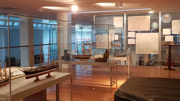
Nov 25 2020 - Mar 14 2021 | German Maritime Museum / Leibniz Institute of Maritime History, Bremerhaven
Video of the exhibition opening
Virtual guided tour through the exhibition
Further information on the exhibition, including the web special "Virtual Map Table"

![[Translate to English:] facebook icon](/fileadmin/SocialMediaIcons/iconfinder_06-facebook_white.svg)
![[Translate to English:] instagram icon](/fileadmin/SocialMediaIcons/iconfinder_38-instagram_white.svg)
![[Translate to English:] YouTube icon](/fileadmin/SocialMediaIcons/iconfinder_18-youtube_white.svg)
![[Translate to English:] xing icon](/fileadmin/SocialMediaIcons/iconfinder_xing_white.svg)