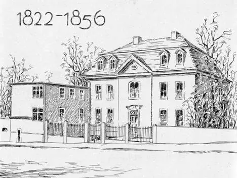
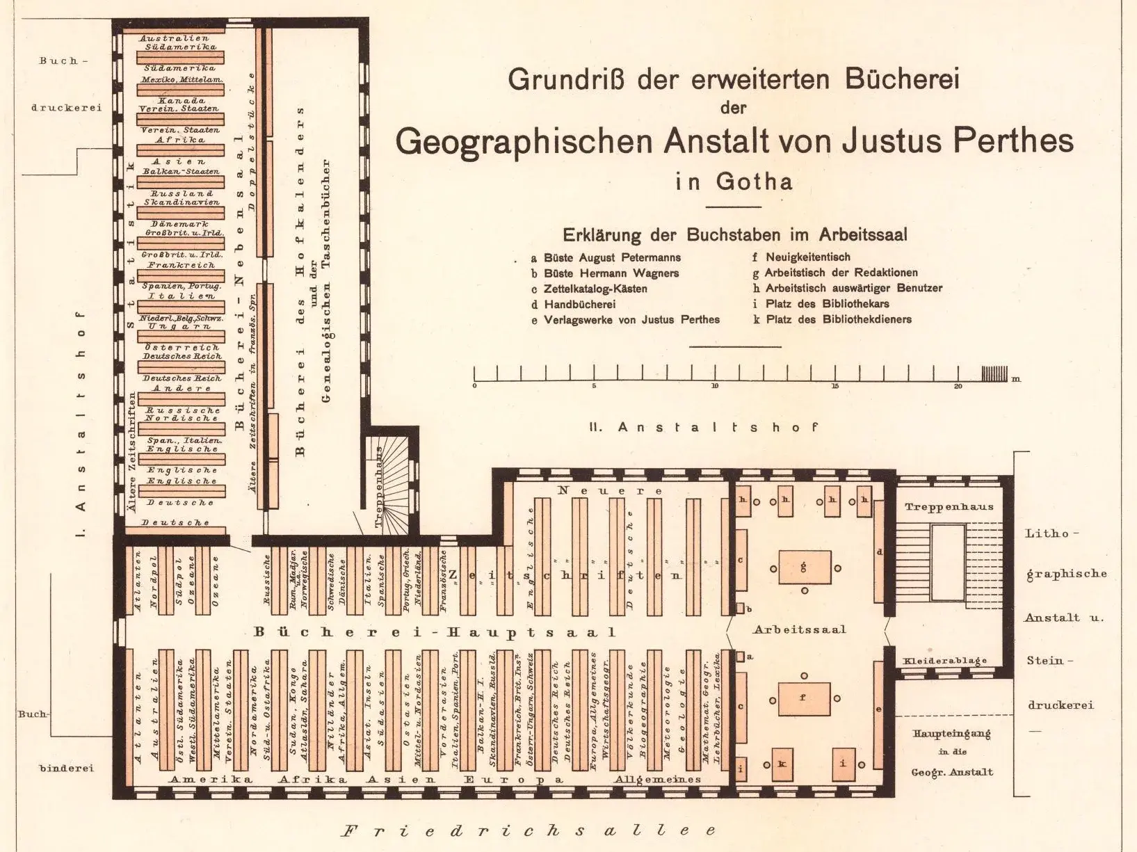
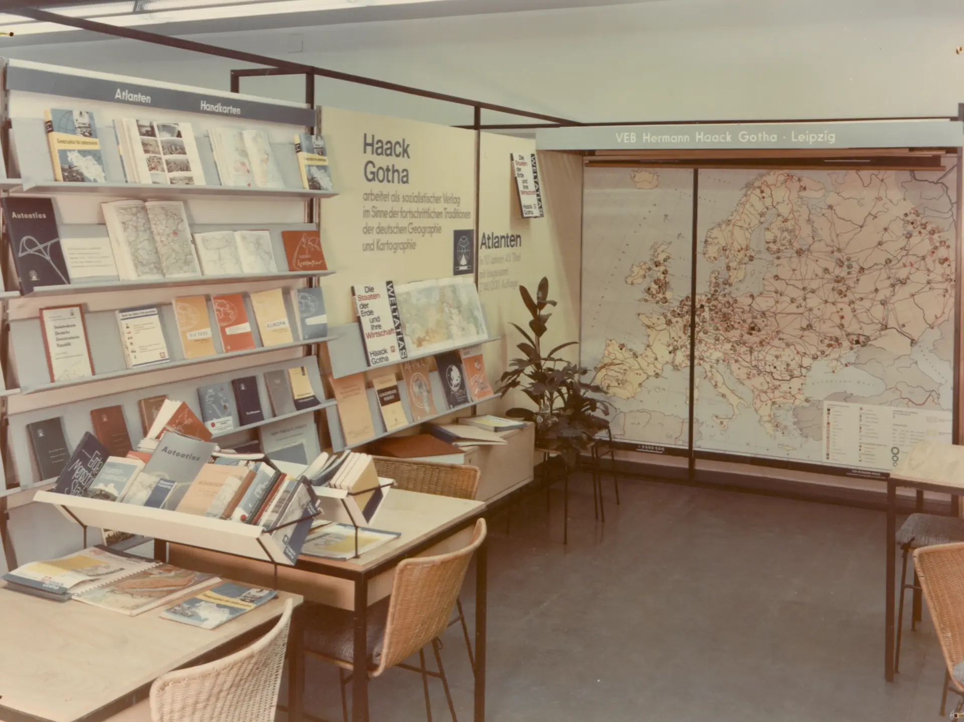
Images (from left to right): Representation of the publishing house building 1822-1856; partial floor plan of the publishing house (Petermanns Geographische Mitteilungen 2/1911, plate 21); trade fair photograph of VEB Hermann Haack 1965 (Perthes Collection of the Gotha Research Library, SPA-BA).
Supported jointly by the Centre for Transcultural Studies and the Perthes Collection (Gotha Research Library), the "Publishing History" research centre at the Gotha Research Campus focuses on the "long history" of the publishing house Justus Perthes Gotha, founded in 1785, and its successors. The aim is to explore the history of Gotha's publishing production in more detail from a variety of perspectives, as Gotha's outstanding heritage harbours a wealth of research potential. The publishing archive was acquired by the Free State of Thuringia in 2003 with the support of the “Kulturstiftung der Länder” and is accessible as the Perthes Collection (Gotha Research Library).
The work initially focusses on map production as well as on the sale and reception of Gotha map works; it also includes the Gotha Almanac and its derivatives. The aim is to go beyond the established approaches of classical cartographic history and the history of publishing and to decentralise the publisher's perspective. The focus is therefore on the publishing house as an economically active company and thus also on its business and everyday life: map-making and map-selling, the publishers and their families as well as the staff. The urban environment of the Gotha residence and its increasing industrialisation, the unification of the empire and its consequences and, last but not least, the long emergence into the age of new colonial globality and territoriality are also of interest. All this changed the business of mapmaking considerably in the course of the 19th century. With regard to publishing, it is therefore important to understand the publishing business in terms of a political history of knowledge, which explicitly does not ignore the respective political situation and the associated dynamics.
The development of "Gotha map production" during the upheavals of the 20th century is also currently at the centre of ongoing research: This includes the history of the publishing house Justus Perthes Gotha from the beginning of the First World War, the Weimar period and the National Socialist era, as well as that of VEB Hermann Haack in the GDR and its western parallel publishing house, Justus Perthes Geographische Verlagsanstalt Darmstadt, in the period after the Second World War. The systemic competition of the Cold War, the political dimensions and the changing conditions of publishing production and, in particular, the re-profiling of the respective publishing houses in the two German states are of interest here. The products, i.e. maps and map works, and the associated cartographic knowledge, are once again analysed as the result of political negotiation processes. In so doing, the specific knowledge economies of the time, the infrastructures and networks associated with them and, not least, the associated material conditions of publishing production are explicitly brought into focus. Particular attention is paid to German-German history and its links and distortions. In addition, the international and global interrelationships of the respective publishing houses, which were to determine both map-making and map-selling in the late 20th century, are of interest.

![[Translate to English:] facebook icon](/fileadmin/SocialMediaIcons/iconfinder_06-facebook_white.svg)
![[Translate to English:] instagram icon](/fileadmin/SocialMediaIcons/iconfinder_38-instagram_white.svg)
![[Translate to English:] YouTube icon](/fileadmin/SocialMediaIcons/iconfinder_18-youtube_white.svg)
![[Translate to English:] xing icon](/fileadmin/SocialMediaIcons/iconfinder_xing_white.svg)