The history of the Justus Perthes Gotha publishing house was particularly shaped by various upheavals and the tensions of political system rivalries, especially in the 20th century. The location of the publishing house in the GDR ultimately led to expropriation in 1953 and subsequent nationalization, which was to have far-reaching consequences. Despite the long tradition associated with the publishing house, not only was the publishing house itself restructured as a state-owned enterprise (Volkseigener Betrieb), but also cartography was reorganized in line with the political ideology of socialism. However, how was cartography transformed under socialism?
This project explores the question through the cartographic knowledge production of VEB Hermann Haack, examining how political interests influenced the modes and content of cartographic products. Key publications and projects of the publishing house, such as the "Haack Großer Weltatlas," the "Atlas zur Geschichte," or participation in the "Карта Мира," are used as central references. This also raises the question of what kind of cartography was developed under the conditions of socialism and the Cold War, and how it inscribed itself in international contexts. As the publishing house held a relative monopoly position for producing cartographic products in the GDR, the study not only provides insights into the cartography of the publishing house itself but also into the role of cartography in the GDR in general.
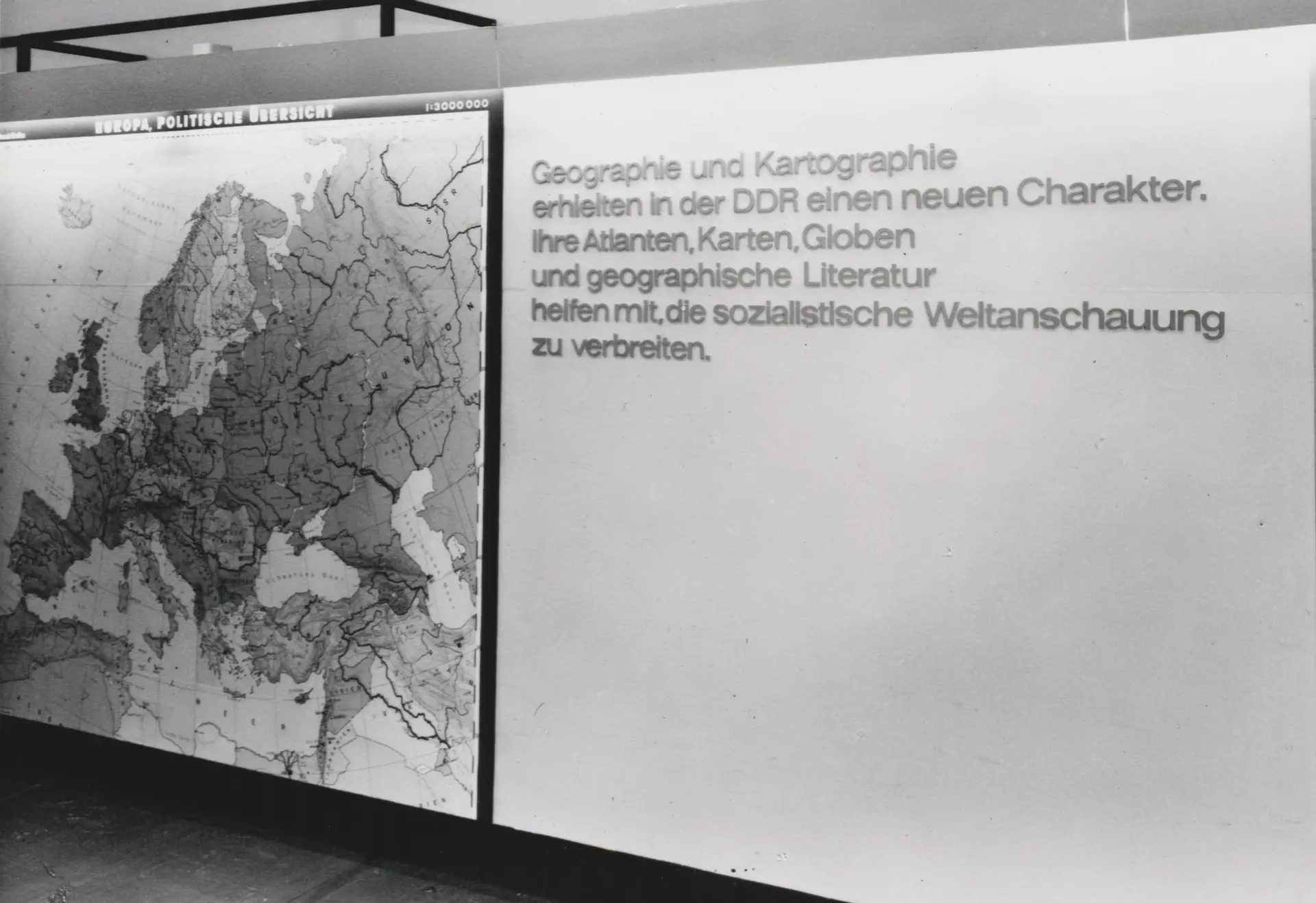
Image: VEB Hermann stand at the Leipzig Spring Fair 1971, Gotha Research Library, Gotha Perthes Collection, SPA BA trade fair photographs 1963-1988.

![[Translate to English:] facebook icon](/fileadmin/SocialMediaIcons/iconfinder_06-facebook_white.svg)
![[Translate to English:] instagram icon](/fileadmin/SocialMediaIcons/iconfinder_38-instagram_white.svg)
![[Translate to English:] YouTube icon](/fileadmin/SocialMediaIcons/iconfinder_18-youtube_white.svg)
![[Translate to English:] xing icon](/fileadmin/SocialMediaIcons/iconfinder_xing_white.svg)
University of Erfurt (Campus)
Nordhäuser Str. 63
99089 Erfurt
