
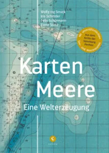
A new book under the title "Karten-Meere. Eine Welterzeugung" invites the reader to read maps as documents of a world production and presents a series of literary and non-literary texts, which in turn undertake the experiment of reading maps: by making their narratives emerge from maps or continue them where the maps end; by telling of the longings and fantasies that have inscribed themselves on the maps or that can arise from looking at or finger-joining maps; by celebrating the reliability of maps or letting lofty fantasies fail because of unpredictable reefs and icebergs.
The book by Wolfgang Struck, Iris Schröder, Felix Schürmann and Elena Stirtz from the University of Erfurt is part of the joint project „Karten–Meere. Für eine Geschichte der Globalisierung vom Wasser aus“

![[Translate to English:] facebook icon](/fileadmin/SocialMediaIcons/iconfinder_06-facebook_white.svg)
![[Translate to English:] instagram icon](/fileadmin/SocialMediaIcons/iconfinder_38-instagram_white.svg)
![[Translate to English:] YouTube icon](/fileadmin/SocialMediaIcons/iconfinder_18-youtube_white.svg)
![[Translate to English:] xing icon](/fileadmin/SocialMediaIcons/iconfinder_xing_white.svg)